Commercial grade drone surveys to provide aerial 3D drone mapping solutions across Scotland and Northern England.
With the use of Aerial Drone Surveys, we can offer 3D topographical maps, stockpile yard 3D models, infrastructure and asset 3D models. Our drone surveys can capture specific areas of interest for our customers using HD camera capturing technology which is then processed to produce a final 3D modelling solution.
We can provide our aerial drone mapping services using the following:
Photogrammetry
Photogrammetry is a process where we take a collection of still images taken on a drone survey and stitch them together to create measurements. Photogrammetry can produce incredibly accurate and detailed 3D modelling that is processed by our award winning cloud based software. Photogrammetry is perfect for land surveys and mapping regions.
LiDAR
While photogrammetry requires the use of still imagery, LiDAR uses laser and light to provide measurements. On more ‘detailed’ environments ie. woodland, built up city areas and other areas with multiple obstructions and obstacles, LiDAR is the preferred choice for aerial drone mapping. The flexible configurations offered by LiDAR allow it to gather huge amounts of data and photographic imagery for mapping and aerial surveys.
Our aerial drone surveys can be used for:
- Aerial Drone Mapping and Photography
- Monitoring Construction
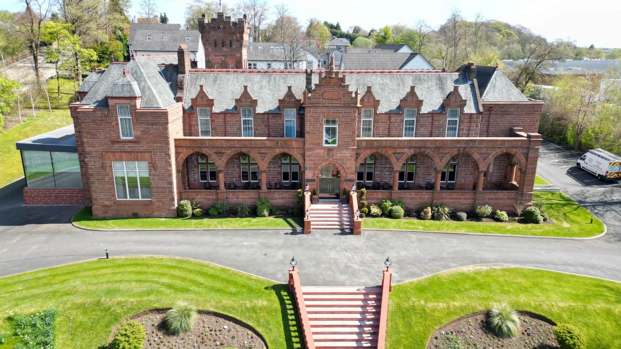
- Aerial Inspections and Drone Mapping
- Difficult Access Inspection & Mapping (Roof’s, Wind Turbines, Cell Tower’s, Utility Lines, Bridges, Oil Platforms and other hard to access areas.)
- Aerial Photo’s/Video
3D drone surveys can be performed in a fraction of the time that regular and conventional survey and inspection methods would take.